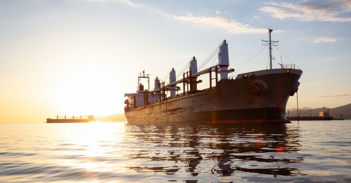
Russia's confirmed strikes on the Odesa port, which it says hit four military storage sites and a cargo vessel carrying military and dual-use goods, are more than another headline in a prolonged conflict. They are a direct signal that maritime infrastructure, the arteries of global trade, remains a deliberate target in modern warfare. This is not collateral damage; it is calibrated military action with measurable consequences for shipping routes, insurance markets, and food supply chains. For anyone working in ocean intelligence, these events demand attention not as isolated incidents, but as data points in an evolving pattern of risk. Strikes Target Ports and Vessels in Confirmed Military Action documented similar attacks earlier this week, reinforcing that this is a sustained tactic rather than a one-off escalation. Meanwhile, the unrelated Cargo Ship Fire Prompts Evacuation Near Mykonos reminds us that maritime emergencies are multiplying from multiple causes, conflict, mechanical failure, environmental stress, each requiring its own risk profile.
Our take is straightforward: the ocean is not a neutral space. It is a theater of geopolitical competition, and the vessels crossing it are not just carriers of goods but also assets in a broader strategic calculus. What makes this Odesa strike significant from a data perspective is the claimed specificity of the target, a ship transporting dual-use goods. Dual-use is a classification that sits at the intersection of trade regulation and military logistics. When a port like Odesa, a critical node for Ukrainian grain exports, is repeatedly hit, the ripple effects move through empirical indicators: grain futures, shipping insurance premiums, and the rerouting of commercial traffic. These are not abstract metrics. They are measurable, real-time signals that our integrated data ecosystem is built to capture and analyze. The reader who asks us what this means in practice should understand that monitoring conflict zones now requires integrating satellite imagery, AIS track data, and port-call logs into a single operational picture. The risk is not binary, safe or unsafe, but probabilistic, and it shifts daily.
We would advise any operator or policy analyst to treat these strikes as part of a broader pattern that also includes Russia's long-term infrastructure investments, such as its plans to collect over 200 billion roubles from exporters for new icebreakers on the Northern Sea Route. That is not a coincidence. One state weaponizes a commercial port; another subsidizes its own strategic maritime corridor. Both actions reflect a world where ocean access is increasingly weaponized, and where neutral shipping lanes become contested zones. The takeaway our readers should quote: "Every vessel track now carries strategic context, knowing where a ship is means nothing without knowing why it's there and who is watching." This is not alarmism; it is the empirical reality of maritime security in 2025.
What we will be watching closely is how the classification of "dual-use" cargo evolves in the wake of these strikes. If Russian claims are validated independently, it sets a precedent for targeting ships based on cargo manifest alone, not just on military affiliation. That would fundamentally change how commercial shipping routes are risk-assessed. The concrete question for our readers: do your operational models currently account for dual-use categorization as a risk factor? If not, they are already out of date.