A robot swarm is on a mission to map Greenland’s perilous ice sheets
Our take
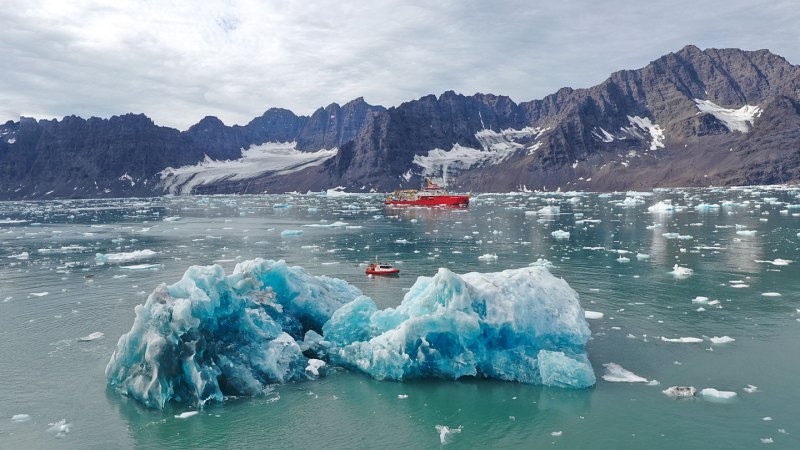
The deployment of a robot swarm to map Greenland’s glacier-sea boundary represents a significant advancement in our ability to understand and predict the impacts of climate change. The inherent challenges of accessing and accurately surveying these remote and dynamic environments have historically limited data acquisition, leaving critical gaps in our understanding of ice sheet behavior. This expedition, utilizing autonomous robotic systems, aims to address these limitations, focusing on the crucial interface where glaciers meet the ocean – a region demonstrably sensitive to warming temperatures and a key driver of sea level rise. The potential for cascading effects warrants a more granular, real-time understanding, and this innovative approach signifies a move towards that goal. It builds upon the kind of foundational work highlighted in [Correction: Research on intelligent predicting method of underwater acoustic field based on physics-informed neural network], demonstrating the increasing reliance on sophisticated data analysis and modeling techniques to interpret complex oceanic and glacial systems. The scope of the problem is considerable; as underscored by discussions around biodiversity loss, as seen in [Combatting the data crisis: a primer on using artificial intelligence in marine biodiversity], the ability to efficiently gather and process data is paramount to addressing critical environmental challenges.
The reliance on a robotic swarm is particularly noteworthy. Traditional methods, involving research vessels and manual measurements, are often constrained by weather conditions, logistical limitations, and the sheer scale of the Greenland ice sheet. A swarm, operating collaboratively and autonomously, can overcome many of these obstacles, providing a more continuous and comprehensive dataset. The ability to collect longitudinal data – observations taken over extended periods – is especially valuable for discerning long-term trends and identifying subtle shifts in glacier behavior that might indicate an approaching tipping point. Furthermore, the integration of real-time data streams from these robotic platforms into an integrated data ecosystem, as we advocate for at World Data Ocean, allows for rapid analysis and adaptive modeling, potentially enabling earlier warnings of accelerated ice loss. This parallels the increasing automation observed in other maritime sectors, as evidenced by incidents such as the [Unmanned Tanker Runs Aground Off Mumbai Amidst Rough Weather Conditions], highlighting the need for rigorous calibration and robust operational protocols even with autonomous systems.
Beyond the immediate scientific value, this expedition underscores the broader trend of leveraging technological innovation to address pressing environmental concerns. It represents a proactive, data-driven approach to climate prediction, moving beyond reliance on historical data and embracing the capabilities of modern robotics and artificial intelligence. The precision and scale offered by this swarm-based mapping effort promise a more nuanced understanding of the complex interplay between ocean currents, glacial meltwater, and the overall stability of the Greenland ice sheet. The validated data generated will be invaluable for refining climate models, improving sea-level rise projections, and informing policy decisions aimed at mitigating the impacts of climate change. The use of empirical data, gathered through rigorous and repeatable methods, strengthens the credibility of predictions and facilitates more effective strategies for adaptation and resilience. This aligns with the ongoing global push for ocean intelligence, and the imperative to move beyond reactive responses to proactive stewardship.
Ultimately, the success of this expedition hinges on the robust integration of the collected data with existing climate models and the ongoing refinement of those models through continuous validation. What remains to be seen is the extent to which these real-time data streams can improve our ability to accurately forecast the timing and magnitude of ice sheet collapse, and how effectively this improved predictive capability will translate into concrete actions to avert a catastrophic climate regime. The development and deployment of increasingly sophisticated robotic systems for ocean exploration represents a crucial tool in our arsenal, but it is the rigorous analysis and application of the resulting data that will ultimately determine our success in safeguarding the planet’s future.
Read on the original site
Open the publisher's page for the full experience